
Capabilities · rfMAP
Authentic 3D geodata, the complete layer stack for RF planning
5G cells reach 300 to 500 metres and live or die on line of sight, so you cannot plan them on 2D. rfMAP is the full 3D and 2.5D layer stack RF teams plan on: 3D buildings, 3D vegetation, 4D bridges, terrain and clutter, extracted at sub-meter precision from high-resolution multi-stereo satellite imagery.
Get a demo →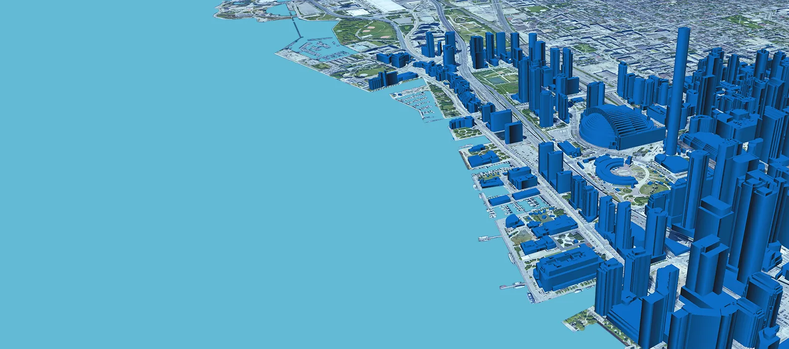
The problem with 2D
You cannot plan 5G on a flat map
Modern cells reach only 300 to 500 metres and live or die on line of sight. A single building edge, a bridge span or a row of mature trees decides whether a link closes. A 2D centerline map cannot tell you any of that, so plans built on it fail in the field, and the budget goes to physical surveys instead.
Planning tools want data your GIS cannot produce on its own: terrain under the clutter, building heights, vegetation heights, the structures between the antenna and the user. rfMAP exists to give RF teams that authentic 3D picture, so the planning happens at the desk rather than on the tower.
What rfMAP is made of
The complete layer stack
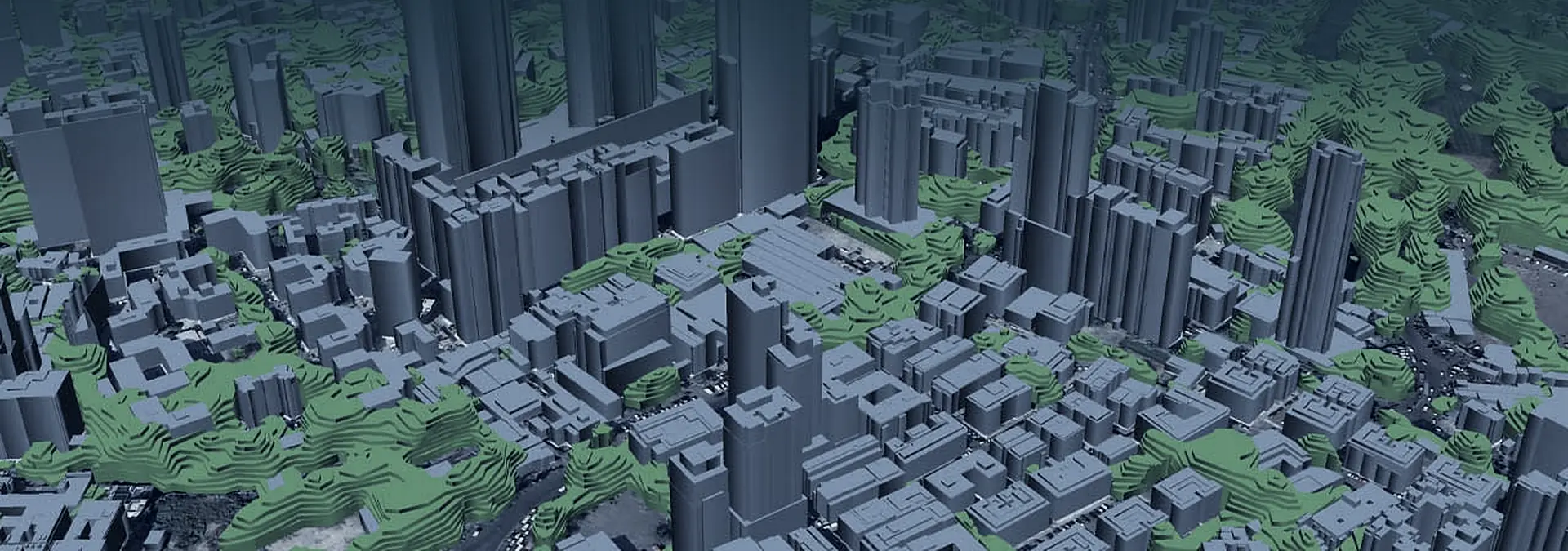
rfMAP is not one map, it is the stack of layers an RF planning tool reads. Each layer answers a different planning question, and they are designed to be loaded together.
Footprints and rooftops in 3D
Per-building multi-polygon detail, so the obstruction between an antenna and a user is modeled, not assumed.
Vegetation with real heights
Vegetation captured as stacked polygons with height attributes, because tree lines block signal the way buildings do.
Bridges with full geometry
Bridge models carrying height, width, depth and length, so spans over corridors are planned correctly.
Bare-earth terrain
A Digital Terrain Model of the ground beneath the clutter, the elevation surface every link profile starts from.
Surface with everything on it
A Digital Surface Model that includes buildings and vegetation, for the true line-of-sight profile.
Roads, rivers and coastline
Linear vector layers that ground the 3D data in the network and the world around it.
Land-use classification
A land-use and land-cover raster of up to 35 classes, the clutter layer RF tools tune propagation against.
How it is built
Authentic, not estimated
The layers are extracted from high-resolution multi-stereo satellite imagery, captures taken at multiple angles so 3D structure can be recovered rather than inferred. Buildings carry per-building multi-polygon detail and vegetation is held as stacked polygons with heights.
That is the difference between a map that looks 3D and data a planning tool can trust: the geometry reflects what is actually on the ground, at sub-meter precision for line-of-sight work and micro-mapping for small-cell placement.
Sub-meter precision, where it matters
Line-of-sight planning is unforgiving: a metre of error on a rooftop edge can be the difference between a link that closes and one that does not. rfMAP is built at sub-meter precision and micro-mapping detail so the layers hold up for the decisions RF teams actually make, from macro coverage down to small-cell placement on a single street.
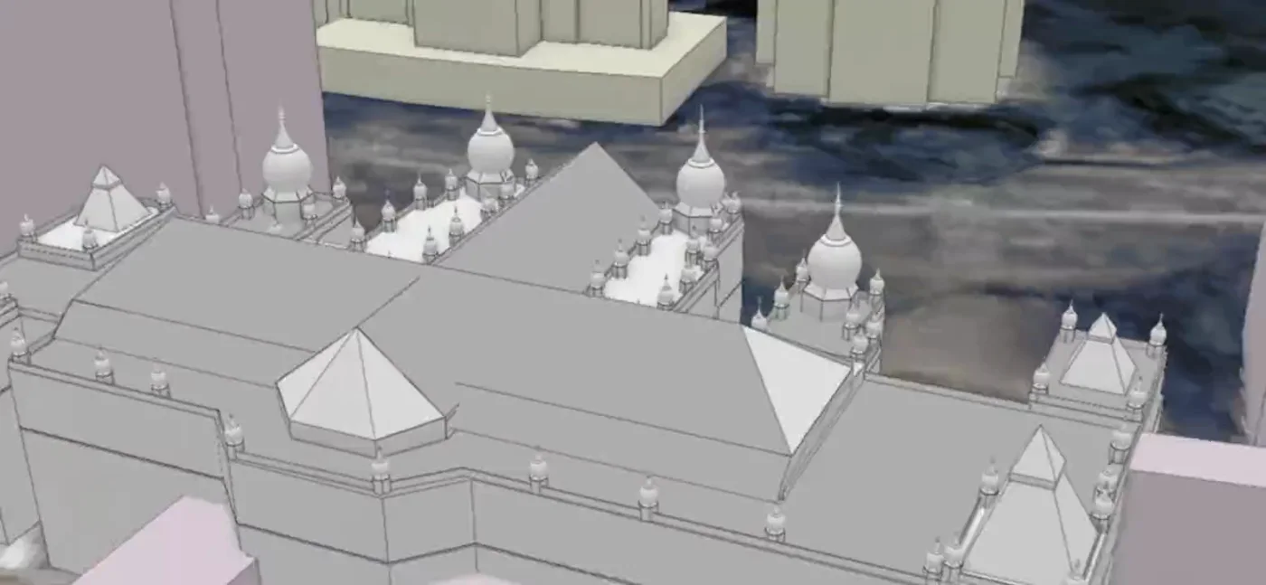
One tile, every layer, lifted apart.
Terrain at the base, then surface, then buildings, then vegetation heights and the bridge spans between them. The same authentic stack RF tools read, resolved on the map.
Vendor-neutral by design
Data your RF tools already speak
rfMAP is built to be consumed, not admired. Output formats are compatible with RF planning tools, drive-test equipment and GIS tools across the ecosystem, so the layers drop into the workflow your planners already run rather than asking them to switch. The same authentic data also powers Lepton's own planning stack, including neo360 5G fixed-wireless planning.
What the layer stack changes
- 01
Plan on the real obstruction
Line-of-sight and Fresnel work runs against true building and vegetation heights, not a flat centerline that hides what blocks the signal.
- 02
Decide at the desk
Authentic 3D data lets planners qualify and place cells without sending a crew to confirm every rooftop and tree line.
- 03
Stay in your toolchain
Vendor-neutral formats mean the data feeds your RF planning, drive-test and GIS tools directly, with no rip-and-replace.
Proof
The dataset behind India's 5G
This is the same authentic 3D data the industry plans on. More than 95% of India 5G deployment runs through the Lepton 3D dataset, and the same data is used by operators, network OEMs and tower companies worldwide.
- Airtel
- Reliance Jio
- BSNL
- Vodafone Idea
- Ericsson
- Nokia
- American Tower
Scale
Mapped where networks are built
The layer stack is not a single-city demo. rfMAP covers 128 countries and 3150 cities, and where off-the-shelf coverage does not exist, the same production pipeline builds made-to-order data for the territory you need to plan.
See the layer stack on your own territory.
Bring a city or a corridor, and we will show you the authentic 3D layers RF planners build on.
Get a demo →