
Industry · Government & Defence
Mission-grade geospatial. Built for sovereign requirements.
Geospatial solutions for government and defence, telecom network analysis, Digital Mobile Radio planning, optical fiber design, infrastructure GIS. On-prem and sovereign-cloud deployable.

Use cases
What government and defence teams build with the platform.
Radio coverage, fibre backbone and the asset register behind both are one programme, not three procurements. Holding them on one platform is what makes the audit trail hold up and the design survive the next change of scope.
- 01
Strategic telecom and DMR network design
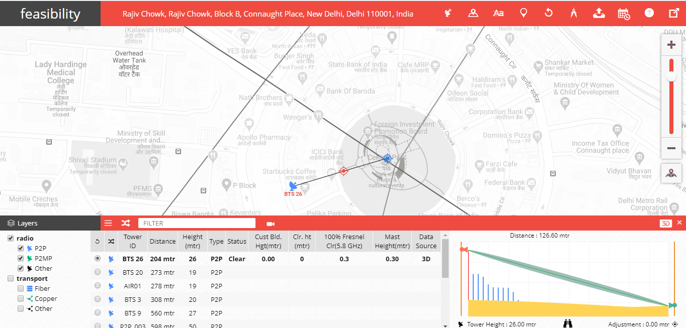
Network design and coverage modelling for Digital Mobile Radio, public safety LTE, and tactical networks. Terrain-aware propagation and secure-deployment topology.
NetworkAccess - 02
Optical fiber backbone planning
Auto-routed fiber design with re-use detection across existing government conduit. BOQ and cost roll-up for capex committee approval.
SmartPlanner - 03
Critical infrastructure inventory
Geo-aware asset register for towers, conduit, splice closures, and connected sites. Change-log audit trail meets sovereign-grade reporting requirements.
SmartInventory - 04
City traffic and road safety
Corridor speeds, congestion, incidents and hard-braking clusters across a city road network, from probe data rather than roadside hardware. Used by traffic police and municipal teams to find the junctions worth fixing first.
TraffiCure
Products for government and defence
One platform, deployable on your own ground.
NetworkAccess is the platform. SmartPlanner and SmartInventory are parts of it, not alternatives to it, so a design, its bill of quantities and the asset record it becomes never leave the same system. TraffiCure and SmartData stand alone beside it, one for what the roads are doing and one for the data underneath.
NetworkAccess
Network design. Multi-technology RF and fiber design, with the modules below running inside it.
SmartPlanner
Fiber rollout. Auto-routed fiber design and BOQ.
SmartInventory
Asset register. Geo-aware inventory and audit trail.
TraffiCure
Traffic intelligence. City-wide road performance with no cameras to install.
SmartData
Datasets. India-grade road graph, POIs and boundaries.
From a programme office
Sovereignty met without a stitch-together.
Lepton's on-prem deployment and India-grade datasets met our sovereignty requirements without forcing a multi-vendor stitch-together.
Questions
What government and defence leadership asks first.
- 01
On-prem or air-gapped deployment?
Yes. Lepton products are containerised; on-prem and air-gapped configurations are standard for government and defence customers. Hybrid (on-prem plus sovereign cloud) also available.
- 02
Data residency and compliance?
All data hosted in customer-region or on-prem facilities. SOC2 Type II, ISO27001 baseline. Additional sovereign-grade certifications available on request.
- 03
Procurement model?
Standard government RFP and RFI participation. Partner channels available for OEM-tied procurement. Multi-year licensing common.
Tell us the decision. We'll route the right team.
Send the geography and the problem. Within 48 hours you get a response from a specialist who has built it for someone like you.
- 48-hour response from a Government and Defence specialist
- Reference calls with named Government and Defence clients
- Optional pilot before contract
Request received.
A specialist will reach out within 48 hours, with the relevant data ready.
Need something sooner? Write to info@leptonsoftware.com.