


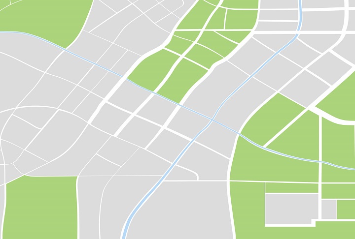
2D Map Tiles
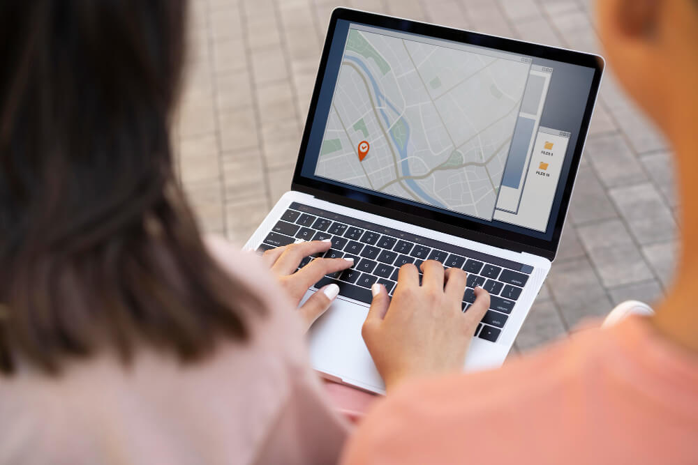
Real-world insights and location solutions that can take your business places!
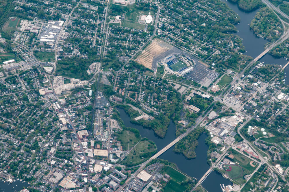
Aerial View
Captivate your users by presenting pre-rendered, 3D cinematic videos showcasing points of interest and their surroundings.
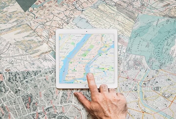
Dynamic Maps
Tailor and design interactive maps by utilizing Cloud-based map styling, ensuring real-time updates across all devices and platforms.
Dynamic Street View
Incorporate authentic visuals through the integration of 360° panoramas capturing real-world scenes.
Elevation
Offer an uncomplicated interface for accessing elevation data by querying Earth locations.

Maps Datasets
Utilize the Google Cloud console to seamlessly upload, store, and manage your geospatial data for integration with Google Maps Platform APIs.
Maps Embed
Enhance your site by incorporating an interactive map or Street View panorama through an uncomplicated HTTP request.
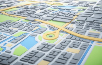
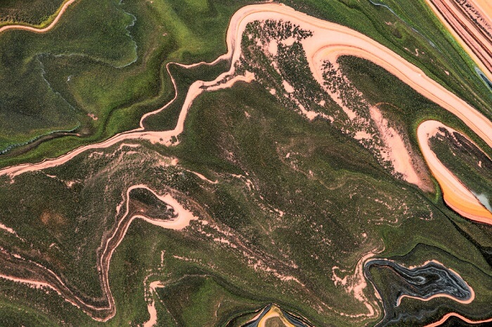
Photorealistic 3D Tiles
Create engaging 3D mapping encounters using our extensively customizable development platform.
Static Maps
Incorporate uncomplicated map visuals onto your website using minimal code.
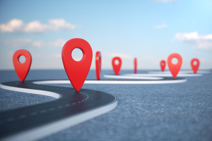
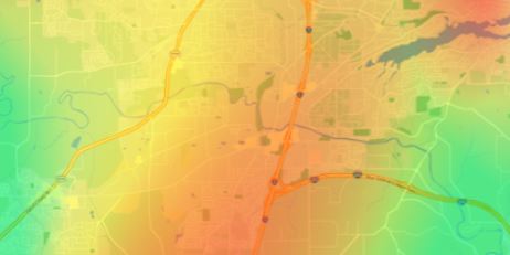
Compute Routes
Get real-time traffic-informed directions for transit, biking, driving, two-wheel motorized vehicles, or walking across various locations.
Compute Routes Matrix
Compute travel durations and distances for numerous destinations, accommodating up to 625 route elements.
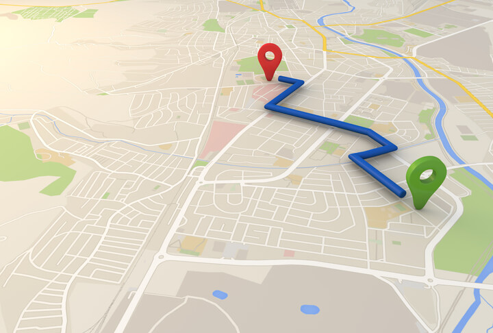
Directions
Offer directions for transit, biking, driving, or walking options between various locations.
Distance Matrix
Compute travel durations and distances for numerous destinations.

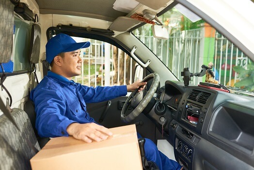
Roads
Identify the path taken by a vehicle.
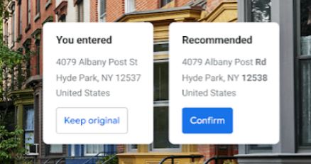
Verification
Verify an address and its components, standardize the address for mailing purposes, and identify the most accurate geocode associated with it.
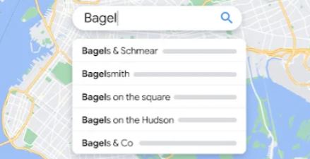
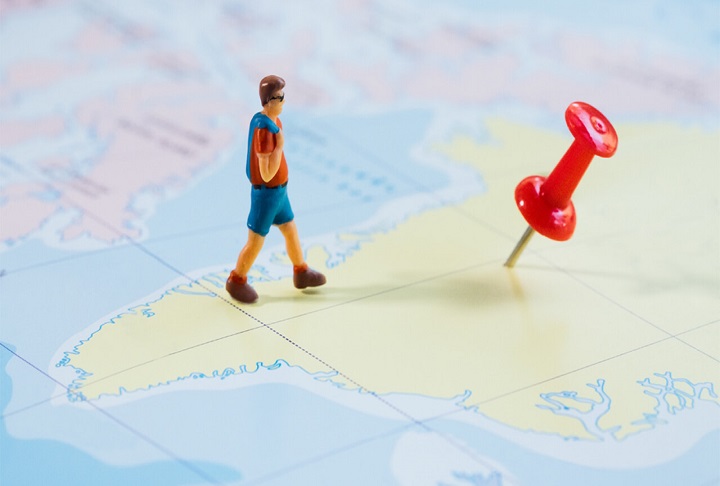
Autocomplete
Assist users in swiftly locating their desired destination by automatically providing suggestions for businesses and points of interest as they type.
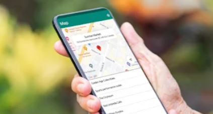
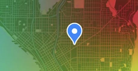
Current Place
Explore the locale based on the device's current reported location, uncovering nearby businesses, points of interest, or geographical locations.
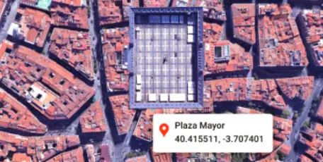
Geocoding
Transform addresses into geographic coordinates or vice versa.

Geolocation
Retrieve a device's location independent of GPS by utilizing geospatial data from cell towers and WiFi nodes.
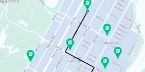
Nearby Search
Translate addresses into geographic coordinates or perform the reverse conversion.

Timezone
Retrieve the time zone associated with a particular set of latitude and longitude coordinates.

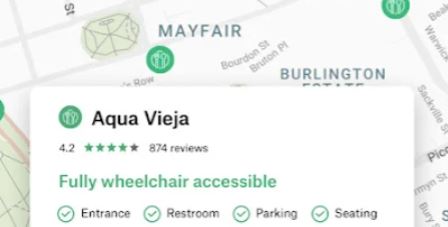
Place Details
Enhance your website or app with comprehensive details for millions of places.

Place Photos
Retrieve millions of place-related photos stored in Google's Places database.
Text Search
Deliver details about a collection of places with a single search query and specified location.
Air Quality
Minimize user exposure to air pollution by providing data and insights on air quality.
Pollen
Enhance the daily experience for individuals with allergies by offering current information on various types and concentrations of pollen.
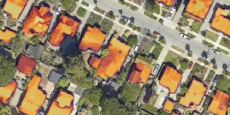
Solar
Employ sophisticated data and imagery to develop advanced designs and proposals for solar arrays, eliminating the need for expensive site visits.
