
Industry · Logistics & Transportation
Routes that route themselves. Vehicles tracked in real time.
Shiprocket, Wheelseye, and India's largest logistics operators run on Lepton's road graph, vehicle restrictions, real-time GPS, and route optimisation, across line-haul and last-mile.
Logistics customers running on Lepton



Use cases
What logistics teams build with the platform.
A delivery promise is a routing question, a tracking question and a network-design question at once. All three read from the same road graph, so the lane you plan is the lane the driver actually gets.
- 01
Last-mile routing and ETA
Hyperlocal routing using India's most complete road graph with truck-class restrictions, time-window constraints, and live traffic. Sub-minute ETA accuracy.
Google Maps Platform - 02
Fleet and asset tracking
Real-time GPS for trucks, last-mile vehicles, and field assets. Geofences, route replay and dispatch optimisation.
SmartOps - 03
Hub and DC network planning
Catchment and demand modelling for hub placement, distribution-center siting, and line-haul lane optimisation.
SmartMarket
Products for logistics
The road graph, and what reads from it.
Google Maps Platform, SmartData and SmartMarket are standalone products. SmartOps is part of the NetworkAccess platform, which is why field tracking and network records stay in agreement instead of drifting apart.
Google Maps Platform
Routes, Distance Matrix, Roads, Fleet Engine. Bought through Lepton as a Google Maps Platform Premier Partner.
SmartData
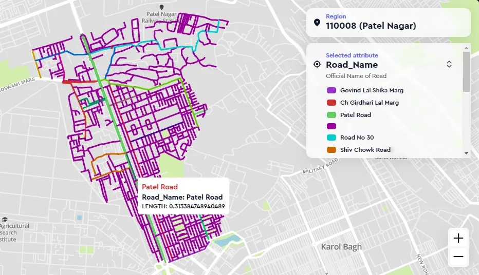
5.2M km road graph and 50M India POIs.
SmartMarket
Hub and DC siting, plus catchment analysis.
SmartOps
Field tracking. Live field tracking and route replay, inside the NetworkAccess platform.
From a logistics team
Tier-2 coverage was the difference.
Switching to Lepton's road graph cut our delivery-promise misses 23% in the first quarter. Tier-2 coverage was the difference.
Questions
What logistics leadership asks first.
- 01
Does the road graph cover rural India?
Yes, India's most complete coverage including state highways, district roads, and rural local roads. Updated continuously with crowd-sourced and field-verified inputs.
- 02
Can we replace our existing TMS routing engine?
We don't replace TMS, we provide the routing intelligence (road graph, restrictions, traffic) that TMS engines consume. APIs and bulk-export options available.
- 03
Pricing model for high-volume routing?
Volume-tier pricing for API consumption. Most high-volume logistics customers move from Google Maps direct to Lepton-GMP partner billing for INR pricing and bulk discounts.
Tell us the decision. We'll route the right team.
Send the geography and the problem. Within 48 hours you get a response from a specialist who has built it for someone like you.
- 48-hour response from a Logistics specialist
- Reference calls with named Logistics clients
- Optional pilot before contract
Request received.
A specialist will reach out within 48 hours, with the relevant data ready.
Need something sooner? Write to info@leptonsoftware.com.