In 1995, connectivity took giant strides in India when mobile devices made their entry. Little did anyone know that for the next decade, telecom will be at the forefront of driving our nation’s global standing ahead. You do not have to look far beyond one particular stat to know how exponentially the telecom industry is evolving. Since 2015, cell phone production has shown a compound annual growth of ~41%, suggesting an outline for the breakthrough of tech in tier 2 and tier 3 cities.
But as the demography evolves, so does the need for networks that cater to the bandwidth of ever-growing infrastructure. With the Digital India Act catalyzing the movement for smart cities, the balance between digital literacy and the urbanization of cities remains a challenge.
However, with the inculcation of artificial intelligence and machine learning-based platforms, the enhanced GIS capabilities are shaping up to be the marquee solution to realize the future. But first, let’s dive into the definition of a smart city.
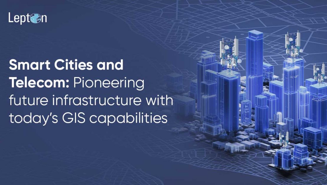
Smart City and its Relevance
The quality of life has risen, and so is the affluence of seamless connectivity. So, it makes sense that the next gradual step for the second-largest telecommunication market in the world is toward smart cities. A smart city, by definition, is an extension of the digitization that user has in their daily life. The urban infrastructure improves the quality of life, service quality, and resource utilization and optimization. And for this to happen, the inculcation of wireless technologies, IoT, analytics, etc, is required.
Many utilities, from transportation to connectivity to security, are upgraded with intuitive platforms at their disposal. And to achieve all this, the role of telecom stands at the center, more so from a GIS perspective –as a smart city needs real-time data processing to power its instant communication system. And, with GIS capabilities, the spatial insights related to diverse infrastructure and possible obstacles make it accessible to create a more responsive network.
The Role of Telecom in Smart Cities
Telecommunications infrastructure forms the backbone of smart cities. With hyperconnectivity and fast response being the norm, the evolution of 5G and fiber connectivity headlines the new era of communication. Boasting fast speeds, low latency, and seamless interaction with smart devices, telecom on the back of IoT integration forms the perfect genesis of smart cities.
But to make the framework of smart cities more intuitive and driven by real-time intelligence, the GIS platform’s wide-scale adoption is the key. By unlocking the geospatial data to help stakeholders visualize, analyze, and manage the assets positioned across the city, companies can easily manage optimum deployment of resources, operational cost, and reduced downtime while ensuring maximum and uninterrupted coverage.
Here are a few ways where GIS capabilities power up the functioning of smart cities.
Network Planning: It becomes important from a geographical perspective to understand the feasibility of a network. From gauging the actual population in a marked area to countering topographical challenges that might obstruct the network’s efficacy, network planning finds itself boosted with insights that help finalize the location of cell towers, the sites for fiber cable installation, and more, all of which contributes to minimal signal loss and continuous coverage.
Better Customer Service: When the area mapping is done efficiently, services like logistics find themselves in good stead. GIS data used smartly, can help with real-time navigation and much more customized offerings to the targeted users. Needless to say, this results in proper revenue generation with scalability prospects for any organization.
Smooth Utility Infrastructure: A city relies on utility services like water, electricity, and waste management, and these services need a reliable telecom infrastructure. GIS allows these objectives to be fulfilled by helping create a more robust network.
Wireless Connectivity: One of the crucial components of a smart city is wireless devices like IoT and sensor usage. GIS, with its key insights, helps in devising the best placements of this equipment that cater to high-demand areas, like residential spaces, transport hubs, and commercial areas.
A prominent case study where telecom and GIS came to the forefront of the development of a smart city is Singapore.
Headlined by their Smart Nation Initiative, launched in 2014, and headed by the Infocomm Development Authority (IDA), the country, known for its marquee infrastructure and communication infra, heavily invested in its geographic information systems to bolster its traffic management, transportation, and environmental monitoring system. Through smart utilization of data analytics, the government has seen a quick response to emergencies/SOS calls, too, while saving on time, effort, and finance that comes with it. They are also one of the first to have implemented autonomous vehicles on the road, which again needs a GIS solution.
The Future of Smart Cities with Lepton Software
The adoption of smart cities has seen an exponential rise, none more so than India, whose Smart Cities Mission is seeing many takers and thus has set the platform for the telecom industry to take on the objective with advanced analytics and intelligent integration of wireless devices. This is where the experts in the field are called upon. Lepton Software, with 30+ years of a strong portfolio, has ably showcased its prowess with its GIS suite, offering a pedigree that will help the objective of smart cities come true.
SmartData, for instance, contains a comprehensive geospatial data library that includes diverse geographic, infrastructure, and mapping information that proves immensely beneficial for the planning stages of a smart city. Another offering is that of SmartInventory, which prioritizes optimized resource management and asset utilization for minimal downtime and peak performance metrics.
rfMAP, on the other hand, is a network planning application that provides real-time radio frequency network visualization that enables planning, designing, and telecom network optimization. It is equally beneficial for wired and wireless device planning, as owing to its feature of 3D simulation, stakeholders can efficiently plan uninterrupted coverage by studying potential obstructions for peak coverage while keeping tabs on time and resources.
At the upcoming IMC 2024, Lepton Software invites you to experience the unmatched capabilities of the rfMAP, SmartInventory, and SmartData first-hand. Join us at Booth 3.1A at Bharat Mandapam, New Delhi, and experience the stepping stones towards realizing the future of smart cities.
