
5G was never just another G. It was meant to be a game-changer and transform how networks are run and managed.
However, the rollout of 5G networks is a complex and multi-faceted process that requires careful network planning and coordination.
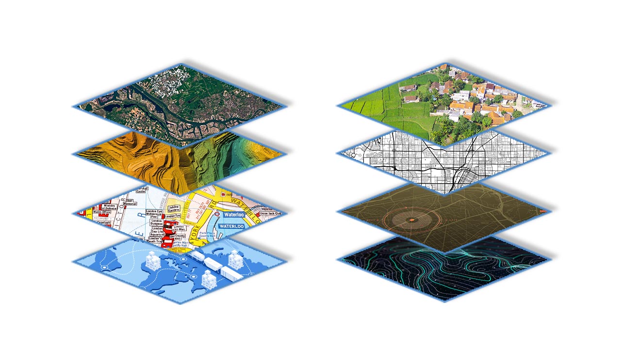
Until now, 2G, 3G, and 4G networks required nothing more than 2D maps for radio planning. With 5G, service providers cannot plan the network in the same way because 2D maps cannot capture rich details of buildings, vegetation, and other topographic features that can impact signal strength and quality.
3D Maps: The backbone of 5G Network Deployment
Accurate 3D models are crucial for designing 5G networks, which use millimeter-spectrum waves, susceptible to interference from natural and manmade objects. Buildings, trees, bridges, flyover roads, etc., must be expressed precisely in 3D models and incorporated into network-planning software.
These can be created using various methods–including satellite imagery, aerial photography, lidar, and other geospatial data sources. In addition to providing a detailed and accurate view of the physical attributes of a site, like terrain, buildings, infrastructure, and other features, they also allow planners to identify potential challenges and opportunities for 5G deployment.
This article highlights the key role played by 3D Maps in 5G network deployment and roll out.
Optimal Site Location
3D maps can help telecoms with optimal locations for 5G antennas, towers, and other infrastructure, considering factors such as terrain, vegetation, and the presence of buildings and other structures.
In addition to helping with 5G planning, 3D maps can also be used to visualize and assess the coverage and capacity of a 5G network once it is deployed. This can be particularly useful for identifying areas of weak or no coverage and for identifying opportunities to improve network performance and capacity.
They can also help identify potential obstacles to 5G deployment, such as tall buildings or dense vegetation, and provide insights into how these obstacles can be overcome.
2. Detailed Visualization and Analysis of Physical Environment
One key advantage of using 3D maps for 5G planning is the ability to visualize and analyze the physical environment in great detail. By providing a detailed and accurate view of the terrain, buildings, infrastructure, and other features in a given area, 3D maps allow planners to identify potential challenges and opportunities for 5G deployment in a way that is not possible with traditional 2D or 2.5D maps.
3. Deployment and Management of Base Stations
Wireless networks, including 5G networks, rely on complex infrastructure to function properly. One important aspect of this infrastructure is the deployment and management of base stations, which are responsible for transmitting and receiving data to and from devices within their coverage area.
One way to visualize and understand the layout and coverage of base stations is through the use of 3D maps. These maps can provide a detailed view of the location and orientation of each base station, as well as the terrain and other physical features of the area.
Also Read: 3D Maps: The building blocks for Smart Cities
- For one, they can help network planners and engineers identify areas where additional base stations may be needed to improve coverage and capacity. This can be especially important in urban areas, where the density of buildings and other structures can interfere with the signal and cause gaps in coverage.
- In addition, 3D maps can be used to optimize the placement of base stations to minimize interference and maximize the efficiency of the network. This can involve adjusting the height and orientation of the base stations to take advantage of natural features like hills and valleys, or placing them in strategic locations to take advantage of line-of-sight paths to other base stations.
4. Real-time Updates and Modifications
With 3D maps, it is often possible to make updates and modifications in real-time, allowing planners to stay up-to-date with the latest changes to the network and respond quickly to changing conditions.
Moreover, 3D maps can be shared and accessed by multiple stakeholders, allowing for improved collaboration and communication among different teams and departments involved in 5G planning and deployment.
To sum up:
Overall, 3D maps are a powerful tool that can significantly improve the efficiency and effectiveness of 5G planning and deployment, and are likely to play an increasingly important role in the rollout of 5G networks in the coming years.
Geospatially intelligent organizations like Lepton Software can help telecom companies with accurate geodata to plan and design large-scale networks at reasonable cost. High-resolution 3D Maps by Lepton Software offers precision and accuracy required to boost the overall network performance.
If you want to know more, get in touch with our experts today and schedule a demo.
