The Role of Geospatial Technologies in 5G Planning and Implementation
As the telecommunications sector is gearing up for the upcoming advances in connectivity, 5G planning has emerged as a strategic priority for ensuring quick, reliable, and scalable networks. From site selection to deployment, geospatial technologies are transforming how businesses approach 5G network planning, enabling more informed decisions and streamlined processes across the value chain.
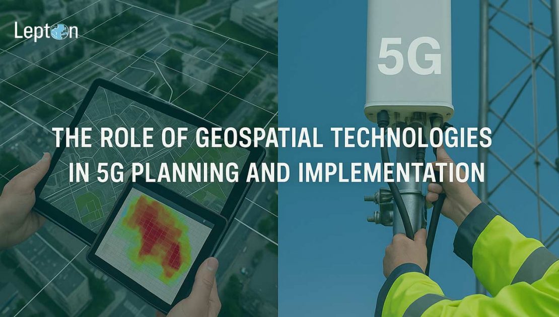
The Strategic Value of Geospatial Technologies in 5G Planning
5G planning involves a multi-layered approach that accounts for diverse geographic, demographic, and infrastructural variables. Unlike previous generations of wireless networks, 5G relies on a dense architecture of small cells, macro towers, and fiber connections. By leveraging geospatial technologies, telecom operators and infrastructure providers can now accomplish the following:
- Identification: Determine the best locations for antennas, small cells, and base stations.
- Analysis: Examine line-of-sight impediments, clutter data, and urban terrain.
- Prediction: Accurately predict network coverage and signal propagation.
- Integration: Integrate current infrastructure and efficiently plan additional backhaul routes.
Improving Telecom Network Planning with Location Intelligence
Network planning in the Telecommunication sector is only as effective as the data that powers it. With tools like high-resolution satellite imagery, LiDAR data, and digital elevation models (DEMs), geospatial technologies provide spatial accuracy that enhances every aspect of 5G network planning. This includes:
- Minimizing deployment costs by identifying accessible and efficient locations
- Avoiding physical, legal, and environmental constraints through spatial analysis
- Supporting inter-departmental collaboration with visual, map-based data layers
Driving Operational Efficiency in 5G Network Deployment
A successful 5G network deployment depends on tight coordination between engineering, field operations, and local authorities. Geospatial technologies bring clarity and control to this process through:
- Real-time visualization of deployment milestones
- Geo-tagged task management for on-ground teams
- Automated reporting and compliance tracking for faster regulatory approvals
These capabilities are especially valuable for infrastructure vendors, system integrators, and telecom operators managing deployments across multiple regions.
Accelerating 5G Implementation with Data-Driven Decisions
From planning to rollout, 5G implementation benefits from location-driven analytics. With the ability to simulate network scenarios and visualize KPIs spatially, B2B stakeholders gain:
- Predictive insights into performance bottlenecks and customer impact
- Centralized dashboards for tracking signal quality and coverage
- Tools to model future expansion as business needs evolve
B2B Use Cases in Action
Across the telecom ecosystem, B2B leaders are adopting geospatial approaches to:
- Enable rapid 5G network planning in dense cities and suburban corridors
- Streamline field validation through mobile apps with geotagged intelligence
- Build digital twins of deployment areas for predictive maintenance and upgrades
- Strengthen collaboration with local governments using jurisdictional overlays
Conclusion
In a competitive landscape where speed, scale, and accuracy matter, 5G planning is no longer just about network design—it’s a data-driven strategic function. By embedding geospatial technologies into their workflows, telecom stakeholders can optimize telecom network planning, reduce time-to-market, and deliver superior connectivity experiences.
For forward-thinking businesses, the future of 5G implementation starts with smarter, location-aware planning and that begins with geospatial intelligence.
