


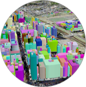
3D Map DataSets
Precise Building Footprint Polygons with Building Height Information in Vector Format. High resolution stereo imagery generated 3D Map dataset with 1m accuracy. Highly accurate 3D Map dataset at 1 meter resolution consisting of height for individual buildings, trees, elevated object like flyovers, metro route, bridges etc.
1. DTM – Digital Terrain Model
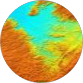
2. DSM – Digital Surface Model
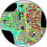
3. 3D Building Database
3D GeoData-Data layers

Highly accurate projected Population Dataset/Population Map sourced from local Census Agency.Plan network in highest revenue potential areas.Conduct marketing campaigns with customers closest to the network.
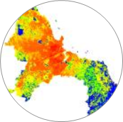

Stores data inclduing settlement & habitation, water bodies, green/forest, agricultural land and open area. Helps in network designing and planning by refining signal level predictions based on local clutter attenuation effects.

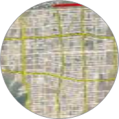
Inlcudes road, rail, metro and water networks.Plan and improve network coverage along the roads.

High-resolution Elevation Data with superior accuracy. Represents Buildings, Vegetation, Flyover, etc. in a raster format.

Provides a topographic model of the bare earth/ underlying terrain of the earth’s surface. Helps in Line-of-Sight analysis by determining potential obstructions to radio signals.