Municipal utilities are critical in delivering essential services such as water, electricity, and sewage treatment to communities. However, these utilities are often faced with the challenge of maintaining aging infrastructure, dealing with increasing demand, and improving the efficiency of their operations. One effective way to address these challenges is by using Geographic Information System (GIS) solutions and municipal utility software. This blog post will explore how GIS for utilities can help make municipal operations more efficient.
Challenges Faced by Municipal Utility Providers
Let’s look at a few key challenges faced by these utilities:
- How to assess areas having more demand for a specific utility, for example, water
- How to re-route the supply from low-demand areas to high-demand areas and check its impact on the entire network
- How to locate bottlenecks in the supply chain
- How to identify and eradicate leakages from the system to prevent losses of both money and resources
- How to plan the expansion of the system to newly populated areas
How GIS Helps Utilities Address These Challenges
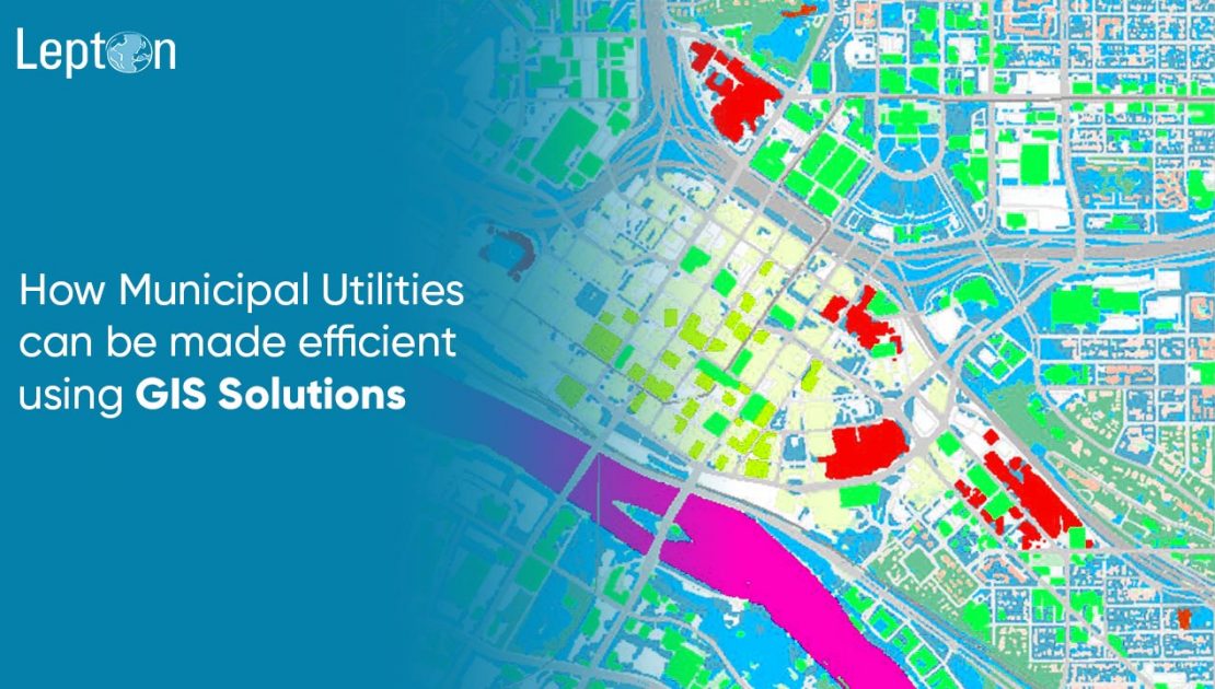
Assess Demand and Supply on the Map
GIS utility mapping and visual analytics can be integrated into mechanical systems to fetch data portrayed on a map to assess demand and supply.
This helps in:
- Identifying high & low demand areas
- Rerouting resources according to need
Such GIS software for utilities improves planning and enables better service delivery.
Asset Management
Managing utility assets such as water and sewage pipelines, electric grids, and other infrastructure is a significant challenge.
GIS for utility management helps:
- Map and track asset locations and conditions
- Maintain accurate records
- Monitor performance and predict failures
This enables preventive maintenance, reduces downtime, and lowers costs associated with asset repair and replacement.
Real-Time Monitoring of the System on Map
Sensors placed at defined intervals can be integrated into GIS systems to enable geospatial monitoring of utilities, which helps with:
- Locating bottlenecks
- Identifying leakages or faults between two sensors
This minimizes wastage and boosts operational efficiency.
Simulation of Resource Flow on Map
Simulation tools integrated with GIS allow utilities to:
- Plan expansions into new areas
- Simulate renovations in the existing supply chain
GIS utilities can forecast the impact of changes in the network using spatial simulations.
Network Planning and Design
Another key benefit of GIS for utilities is improved network planning and design. GIS tools help:
- Analyze topography and population trends
- Identify efficient pipeline and electric grid routes
- Optimize infrastructure investments
Mobile network planning tools used for telecom are also being repurposed for utility network layouts to improve coverage and capacity planning.
Outage Management System
Outages are a major concern for utility services. With outage management using GIS and ERP integration, utilities can:
- Quickly locate outage points
- Speed up response time
- Improve communication with citizens during service interruptions
This ensures better service continuity and responsiveness during emergencies.
Customer Service
GIS improves customer service by enabling:
- Real-time visibility into service status
- Easy reporting of issues through map interfaces
- Faster resolution with geotagged service requests
This significantly enhances the user experience and supports customer satisfaction efforts.
Billing and Metering
Automating billing and metering through GIS leads to:
- More accurate usage tracking
- Reduced manual errors
- Efficient data analysis for rate optimization
GIS software for utilities supports both operational accuracy and financial transparency.
Conclusion
GIS solutions offer a wide range of benefits for municipal utilities. Whether it’s utility GIS mapping, geospatial monitoring, fixed wireless capacity planning, or outage management with GIS and ERP, the adoption of GIS leads to measurable improvements in efficiency, cost control, and service quality.
If your municipal utility is looking to modernize, GIS for utilities is not just a technology investment—it’s a strategic upgrade.
