From Traffic to Terrain: Why Environmental and Geospatial Data Are Critical to Site Selection
Site Selection Is More Than Land Cost or Pin Location
For years, site selection data revolved around two core factors — land cost and basic demographics. While important, these variables only scratch the surface. Businesses that rely solely on them risk overlooking critical environmental and infrastructural factors that can impact operations, costs, and long-term success.
Modern smart location planning demands a deeper, more holistic approach — one that combines geospatial data for site selection with real-time environmental and mobility insights. Whether you’re setting up a retail store, EV charging station, telecom tower, or warehouse, understanding what surrounds your site is as crucial as the site itself.
Environmental Risk Factors – Look Beneath the Surface
Choosing a location without considering environmental risks is like building on a foundation you’ve never inspected. Site selection data must go beyond surface-level stats to factor in:
- Flood Zones: Protect your investment by evaluating flood-prone areas using flood zone APIs and water risk datasets.
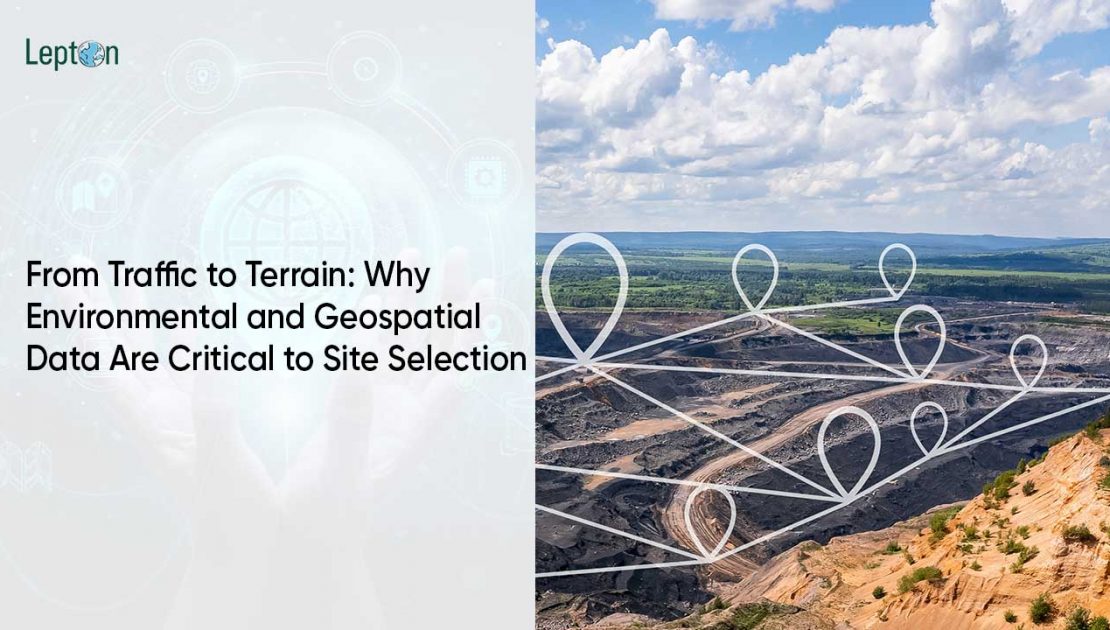
- Slope & Terrain Analysis: Understanding gradients and elevations with terrain analysis GIS tools prevents engineering surprises, particularly for telecom, solar farms, or large infrastructure projects.
- Air Quality & Seismic Risk: Poor air quality may affect retail, healthcare, or residential developments, while seismic data can influence structural design requirements.
- Industrial Noise Zones: Essential for residential or wellness-focused businesses.
- Ecological Protection Areas: Avoid regulatory hurdles by identifying environmentally protected zones.
Tools That Power This:
- Google Elevation API for slope and height data
- Flood zone API integrations
- Air quality APIs for long-term environmental suitability
- Land use and ecological datasets for compliance checks
Traffic & Accessibility – Movement Predicts Potential
A prime location on paper can turn into a logistical nightmare if traffic patterns and accessibility aren’t considered. Traffic APIs for business play a critical role in forecasting operational efficiency and customer footfall.
Key traffic and accessibility factors include:
- Daily Traffic Flow & Congestion Patterns: Avoid choke points that deter customers or delay logistics.
- Approach Roads & Last-Mile Accessibility: Smooth accessibility for both customers and supply chains.
- Public Transport Access: Crucial for retail, education, and healthcare facilities.
- Visibility From High-Traffic Zones: Maximize exposure, especially for retail or service centers.
- Nearby Points of Interest (POIs): Proximity to schools, hospitals, parking, or complementary businesses adds value.
APIs in Action – Turning Data into Decision Power
APIs are the bridge between raw data and actionable insights. Here’s how leading businesses use them:
- Google Elevation API: Perform elevation data for planning, identifying suitable sites that avoid slope-related construction challenges.
- Directions & Traffic APIs: Model congestion, predict delivery times, and assess accessibility for customers and suppliers.
- Air Quality APIs: Evaluate long-term viability for industries like retail, healthcare, or edtech that depend on air quality standards.
- Flood Zone API: Flag water-prone areas before committing to infrastructure investments.
Cross-Industry Applications of Geospatial Site Selection Data
This approach isn’t limited to one sector — geospatial data for site selection is transforming how industries evaluate risk and opportunity:
- Telecom: Avoid terrain-related signal obstructions and improve tower placement by combining terrain analysis GIS with traffic patterns.
- EV Infrastructure: Prioritize areas with smooth access, sufficient footfall, and low-emission zones, balancing both customer convenience and environmental responsibility.
- Retail & QSR: Eliminate flood-prone sites, avoid poor-access zones, and maximize visibility for walk-ins and drive-by traffic.
Conclusion – Smarter Location = Safer Investment
The days of choosing locations based solely on price and basic demographics are over. Successful businesses today leverage:
- Environmental data for infrastructure to mitigate physical risks
- Traffic API for business to forecast operational flow and customer behavior
- Terrain analysis GIS for construction and network planning efficiency
- Flood zone API and air quality data to future-proof investments
When you combine all this with a platform like Smart Market, powered by rich APIs and geospatial intelligence, you transform location decisions from guesswork into data-driven science.
Ready to turn smarter site selection into your competitive edge?
Explore how Smart Market and API-powered location intelligence can future-proof your next move.
