At the first sign of curiosity we take out our smartphones and enter the realm of possibilities. From visiting nearby places to seeking a place to hang out with friends, we finalize the location and chart out our day. But as is with the wheel of time and the demands of consumers, the technology fine tunes the best of plans with the smallest of details. When speaking from a location intelligence point of view, the concept pertains to precise geolocation. Whether it’s ensuring accurate food delivery, optimizing transport routes, or guiding emergency responders, accurate location data is critical. However, traditional GPS coordinates often fall short in delivering the full requirements of sophisticated system running of meta data. That’s where Point of Interest (POI) data integration comes into play.
POIs enrich raw location data by adding context and clarity, transforming a pin on the map into a meaningful place. This blog delves into the importance of POI data and how integrating it can significantly improve location accuracy and boost business efficiency.
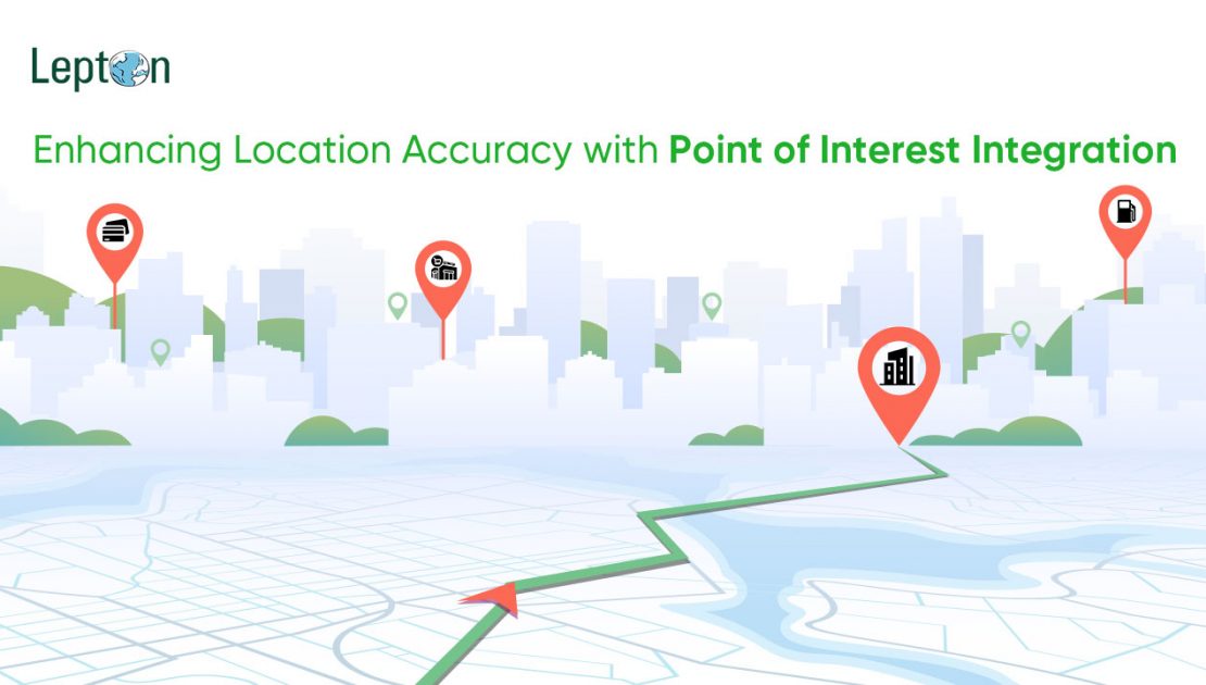
Understanding Points of Interest (POIs)
Points of Interest, or POIs, are specific, named locations that hold relevance for individuals or businesses. These may include landmarks, restaurants, ATMs, government buildings, fuel stations, parks, hospitals, shopping centers, among others. POIs serve as critical markers in the geospatial landscape, enabling more intelligent location-based services.
However, the real context is their ability to offer an added edge over latitude and longitude. POIs inform users and systems what exactly is at that location. For example, rather than pinpointing a location as just geographical annotations, one can simply tag it with details such as locality, ambience, or any additional reviews if needed be.
The sources of POI data are diverse ranging from public datasets, commercial providers, and municipal databases to crowd-sourced platforms and mobile apps. This data can be static (e.g., name, type, address) or dynamic (e.g., opening hours, real-time occupancy) or experience statements. This makes the maps filled with rich information with geospatial mapping accuracy.
Challenges with Traditional Location Data
With the growing inhabitation of regions, more data is there to be logged in. Despite advancements in GPS and mapping technology, traditional location data presents several challenges. Among which one major issue is inaccuracy in dense urban environments or indoor spaces, where GPS signals can be weak or disrupted. Additionally, raw coordinates provide little to no context, which limits their usefulness for users and machines alike. With no accuracy or landmarks to make navigation easy, these limitations end up affecting a wide range of industries. Delivery drivers may stop at the wrong gate. Emergency services might lose valuable minutes identifying the right building. Mobile apps could show inaccurate recommendations due to vague location input.
Without contextual awareness, even accurate coordinates may fall short. That’s why many organizations are now shifting toward POI data for businesses to bridge this gap and deliver precise, meaningful, and actionable geolocation. The utilization of point of interest data bolsters end-to-end customer experience, subsequently promising potential client base and their conversion.
Benefits of Integrating POI Data
1. Enhanced Geocoding
POI data integration results in more accurate geocoding. Matching input addresses with known POIs ensures better location pinpointing and navigation for the users, especially in regions with overlapping or poorly structured address systems.
2. Contextual Awareness
With POI data, location data isn’t about where, it’s also about what and why. In simple terms, knowing a location with a listed nearby landmark helps customers find their way with relative ease.
3. Improved User Experience
POI-enriched applications offer users faster, smarter interactions. Picture this, a customer is waiting for their cab, and being new to the location the best thing for them is to identify the nearest landmark so that the driver can reach them easily. Similarly, a stakeholder working in real estate can suggest properties based on nearby POIs like schools or parks. All these added details exponentially increase the chances of conversion.
4. Operational Efficiency
We all know that optimization of time is optimization of resources. Integrating POI data into business processes supports everything from supply chain efficiency to risk assessment to telecom planning. For example, in telecom, POIs help in planning tower placements based on population hubs leading to smarter investments and better operation scale.
Real-world Applications
- Delivery & Logistics: A prominent use case is of courier companies using POIs to locate service entrances in large buildings, reducing failed delivery attempts. This works wonderfully well in densely populated areas in which the main objective is to find the delivery location under stipulated time and customer satisfaction metrics.
- Urban Planning: Municipalities use POI data clusters to prioritize the placement of bus stops, parks, civil amenities or streetlights. This is done keeping in mind the feasibility of people living in an area.
- Retail Expansion: Whether knowing about their targeted customer base or competition, retail chains analyze POI-rich areas to determine optimal store locations.
Industries Leveraging POI Integration
Much like any technology application, POI integration too has found varied applications into their key performance metrics.
- Logistics and Transportation: From last-mile delivery to fleet routing, POI data ensures timely and accurate movement of goods.
- Retail and E-commerce: Retailers use places of interest data to assess store visibility and optimize marketing campaigns based on nearby attractions or footfall potential. This is done to achieve the maximum return for the investment put in by any organization’s management.
- Public Services: In building major projects like smart cities, governments, and municipal bodies leverage POI data to plan urban infrastructure, allocate emergency services, and create smarter layouts.
Conclusion
The world has moved on from bespoke navigation to GPS to POI-powered maps. The digital landscape demands more than just coordinates; it now demands context. POI data integration provides that missing layer of intelligence, enabling businesses to improve location accuracy, optimize operations, and deliver richer user experiences.
Whether you are navigating complex delivery routes, planning urban infrastructure, or offering hyper-local app recommendations, POI integration makes your products stand out for the sheer immersive and real-time experience. It is a competitive edge which makes companies all the more better for it.
