Okay, let’s first start with us telling you a scenario that has become a fulcrum part of your life. You’re stuck at a location and seeking directions. A good decade back you would have asked the next best stranger to help you with navigation. But cut to 2025, you simply pull out your smartphone, open Google Maps, type in the location, and start your navigation. In today’s digital-first landscape, such actions have become a daily course of action. And this gets powered by location data. From optimizing delivery routes to identifying high-performing sales zones, businesses are increasingly relying on geospatial intelligence to make faster, smarter decisions. It’s a strategic initiative which is powered by an application programming interface or API.
For the telecom sector in particular, Geospatial APIs have emerged as a powerful way to access, analyze, and visualize location data. Customized APIs empowers businesses to integrate location insights into their existing systems and workflows seamlessly, allowing users to have gamified access to a platform.
In this blog, we’ll explore what geospatial APIs are, why they matter for modern enterprises, how they enhance geospatial analysis, and the industries seeing the biggest impact.
What Are Geospatial APIs?
Geospatial APIs are application programming interfaces that allow developers to access and utilize geospatial data for maps, satellite imagery, coordinates, and other location-based insights. These APIs serve as bridges between raw geospatial data and business applications, enabling integration with platforms that rely on mapping, routing, geocoding, and real-time tracking. Think of it as a tool that simplifies raw data in easy-to-understand terms to warrant user’s action. One of the most prominent examples is that of Google Maps API. These platforms offer robust tools to embed geospatial functionality into web and mobile applications, supporting both static and real-time geospatial data. Be it Route API for turn-by-turn navigation, Weather API for weather forecast, or Geolocation API that helps get insights of a location and its surroundings, Google Maps Suite has set the paragon marker for geospatial APIs.
Why do Businesses Need Geospatial Analysis?
The business world is now a connected ecosystem whose functions work on collaboration rather than isolation. With companies donning multinational presence, centralized operations across geography plays a pivotal role in everything from supply chains to customer engagement.
Geospatial analysis helps businesses pinpoint optimal locations for new outlets, monitor delivery fleets in real-time, and track assets across wide geographies. In marketing, business location analytics enables hyperlocal targeting and improved ROI. Zeroing in on the targeted group with location intelligence is the ultimate objective that gets achieved by geospatial APIs.
Whether it’s managing field operations or forecasting sales trends, real-time geospatial data uncovers patterns that drive strategic decisions based on predictive analytics capabilities.
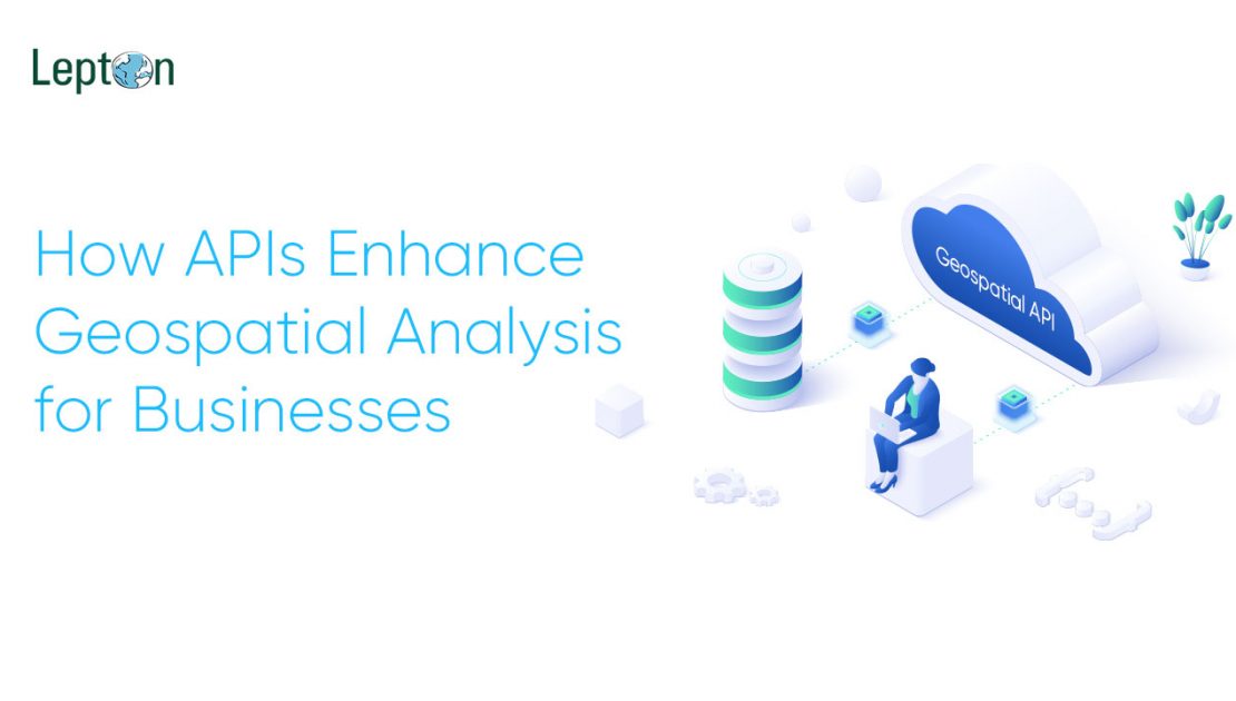
How APIs Enhance Geospatial Analysis
Plans need insights, and insights get curated with analytics on sorted data. This data fetched by APIs allows geospatial tools to chart a course of success for enterprises. Here’s how they add value:
> Seamless Data Integration
APIs can pull data from multiple sources such as GPS sensors, IoT devices, satellite feeds, and mapping platforms into a unified analytics dashboard. This GIS API integration makes it easier to manage and analyze diverse data points without needing separate tools. This is also handy if there’s any update on the datasets, casting aside any manual update process.
> Real-Time Insights
Real-time geospatial data is critical for time-sensitive operations, for instance, last-mile delivery. APIs enable live tracking of delivery fleets, utility outages, or even weather disruptions allowing businesses to adapt instantly on the move and make appropriate congestion plans. One of the most prominent use cases is real-time location intelligence APIs used by companies’ supply chain to reroute vehicles in response to traffic or road closures.
> Automation & Scalability
Instead of manually pulling reports, businesses can automate geospatial workflows using APIs. This not only saves time but makes the entire process more efficient in terms of resource optimization and economic investment. Whether it’s geocoding thousands of addresses or updating coverage maps, geospatial API for business use cases ensures consistent performance even on a scale.
> Custom Visualization
Advanced APIs offer capabilities to build interactive maps and dashboards that are tailored to specific business needs. For example, retailers can generate heat maps to visualize foot traffic; they can use geolocation API to help users know about location’s nearby amenities, among more.
Industries Leveraging Geospatial APIs
Several sectors are already transforming operations using location intelligence APIs. Some of the most highlighted use cases come from the telecom sector which aids in network planning improvement along with coverage visualization. For logistics, enhanced route optimization through real-time tracking is now the new norm of supply chain standard improving customer experience and brand recall value. Similarly for retail and fmcg businesses including real estate, store placement using business location analytics has helped stakeholders get the most out of their scaling prospect.
From a disaster management response perspective as well, geospatial analytics helps with faster response rate keeping in mind the traffic and footfall bottlenecks.
Geospatial APIs are no longer just for developers in quest of building the best application out there. It is now a foundational stone to immersive experience helping businesses make better decisions through location intelligence. By integrating real-time geospatial data into daily workflows, companies can uncover insights that were previously hidden in spreadsheets and find themselves with the treasure of predictive patterns that can help them consolidate their position in the competitive landscape.
