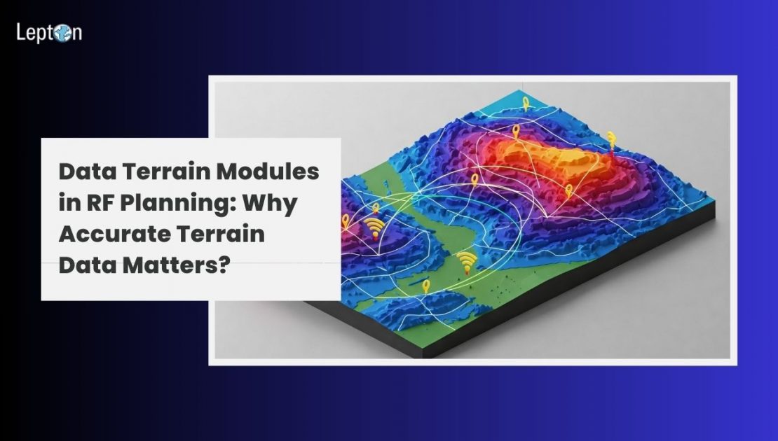
RF planning (radio frequency planning) is the foundation of any successful mobile network deployment. It determines how radio signals will propagate across varied landscapes to deliver strong, uninterrupted coverage. As networks become denser and demand grows, the accuracy of this planning becomes more critical than ever.
To create reliable RF models, telecom engineers need a comprehensive understanding of terrain features across the coverage area. This is where Data Terrain Modules (DTMs) come into play—delivering detailed elevation data that enhances signal modeling and eliminates guesswork.
Why Terrain Intelligence Matters in Radio Planning
Radio waves used in telecom services are highly sensitive to physical obstructions. Whether it’s a hill, building, or dense vegetation, these elements can drastically affect signal strength and create blind spots. For effective radio planning and optimization, telecom engineers must factor in every detail of the terrain.
Data Terrain Modules provide granular elevation data, enabling engineers to model and simulate the real-world behavior of radio signals with higher accuracy. This reduces coverage gaps and ensures optimal network performance.
What Are Data Terrain Modules (DTMs)?
A Data Terrain Module is a digital representation of the earth’s surface that includes variations in elevation but excludes features like trees or buildings. It is one of the most essential datasets in RF network planning, particularly for line-of-sight-based technologies such as 4G and 5G.
By incorporating DTMs into RF planning tools, telecom operators can predict how signals will travel across various terrains, identify potential shadow zones, and determine the best locations for base stations.
The Role of DTMs in RF Network Planning
Here’s how DTMs enhance RF network planning:
1. Elevation-Aware Signal Modeling
DTMs help engineers model signal strength by simulating how terrain impacts propagation. This is critical for building reliable RF network planning tools that provide accurate coverage maps.
2. Optimized Tower Placement
Choosing the right location and height for towers is key to maximizing coverage. DTMs enable radio planning teams to identify optimal elevation points that reduce the need for excessive infrastructure.
3. Improved Planning in Rural and Hilly Areas
In remote or mountainous regions, terrain can severely disrupt signal quality. DTMs help avoid these issues by accurately modeling signal behavior over uneven surfaces.
4. Faster and More Accurate Decision-Making
DTMs support faster decision-making by reducing reliance on manual surveys. When paired with advanced RF planning software, DTMs accelerate deployment and reduce costs.
DTMs + Clutter + Vectors = Comprehensive Planning
While DTMs provide elevation data, they become even more powerful when combined with:
- Clutter data – Models signal loss due to urban environments, forests, or other surface-level obstructions.
- Vector data – Includes roads, rivers, and other geographic features, enriching the accuracy of RF planning tools.
This combination delivers a complete picture of real-world conditions, helping telecom companies plan and deploy with confidence.
Modern RF Planning Tools Rely on Quality Terrain Data
Advanced RF planning tools and software leverage GIS-based datasets to ensure high accuracy in modeling and prediction. Features of modern RF planning software include:
- Terrain-aware simulation
- Network capacity optimization
- Radio interference analysis
- Service quality estimation
Without high-resolution terrain data, even the most sophisticated radio planning tools risk delivering inaccurate results.
Lepton Software’s Terrain Data for RF Planning
Lepton Software is a trusted provider of Data Terrain Modules, clutter datasets, and vector data tailored for telecom and wireless network planning. Our data is used by global telecom operators to:
- Optimize 4G and 5G rollouts
- Improve the accuracy of RF planning software
- Reduce deployment costs and time
- Maximize signal coverage and minimize interference
We offer high-resolution terrain datasets that seamlessly integrate into your existing RF planning software and radio planning tools.
Conclusion: Elevate RF Planning with Terrain Intelligence
As telecom networks become more complex and customer expectations grow, precise RF network planning is no longer optional—it’s essential. Data Terrain Modules give planners the confidence to design efficient, cost-effective, and high-performance wireless networks.
Whether you’re deploying new infrastructure or optimizing an existing one, DTMs, clutter, and vector datasets will elevate the accuracy of your radio planning and optimization efforts.
Looking to enhance your RF planning with high-quality terrain data? Talk to our team today.

