In a crisis, every second matters—and having the right information at your fingertips can save lives. Google Maps isn’t just for navigation anymore. When combined with real-time data and custom layers, it becomes a powerful emergency mapping software that helps disaster response teams act faster, smarter, and more effectively.
How Google Maps Supports Emergency Management
When disaster strikes—be it a flood, earthquake, tsunami, or fire—response teams need more than just static maps. They need dynamic, real-time tools to make informed decisions. Here’s how Google Maps helps:
1. Real-Time Imagery and Hazard Identification
- Quickly overlay satellite or drone imagery during emergencies.
- Highlight inaccessible areas (e.g., flood zones or collapsed roads) for immediate action.
- Mark dangerous zones using data from users or ground teams.
2. Coordinated Evacuation Planning
- Identify and mark evacuation zones on the map.
- Allow teams to coordinate search-and-rescue operations efficiently.
- Share live updates to avoid delays in locating and rescuing individuals.
3. Shelter and Resource Mapping
- Pre-plan shelters and mark them on the map.
- Track real-time occupancy levels to route evacuees to available shelters.
- Integrate with systems to manage and allocate resources efficiently.
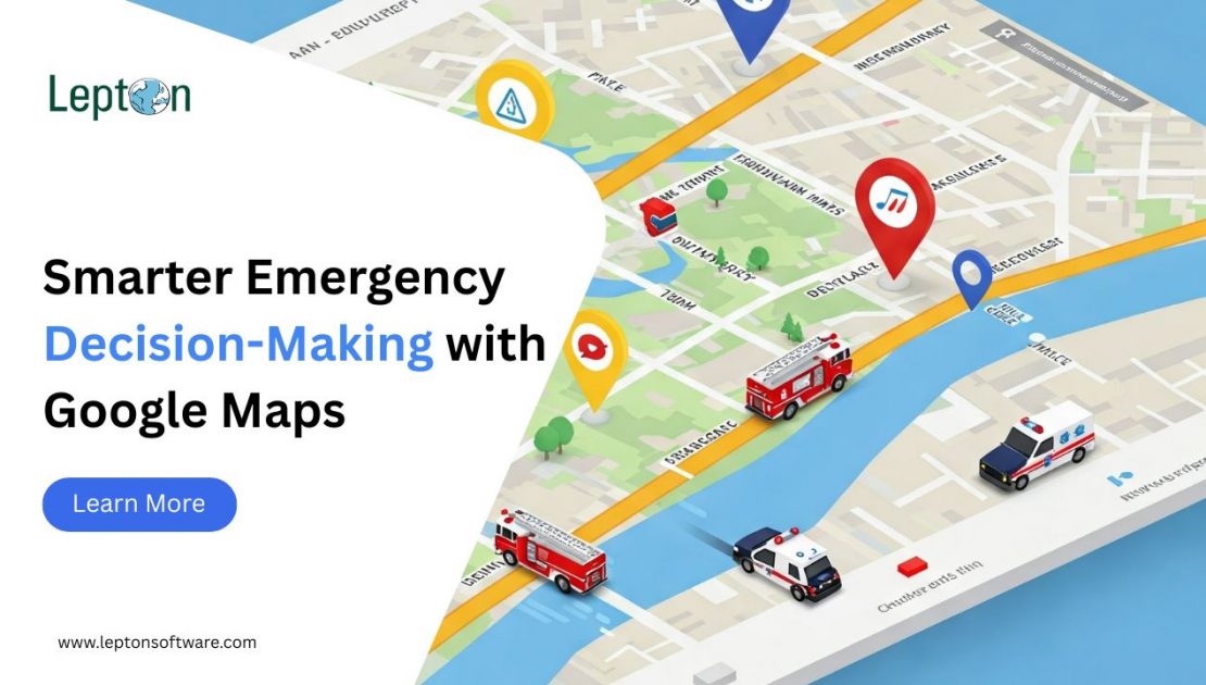
4. Vehicle and Rescue Fleet Tracking
- Show real-time locations and capacity of rescue buses or emergency vehicles.
- Help field responders coordinate pickups and drop-offs.
- Reroute in real-time based on updated road conditions and blocked paths.
5. Community Reporting and Crowd-Sourced Updates
- Enable users and local responders to mark hazardous or unsafe routes.
- Make sure rescue vehicles avoid dangerous areas and take safer paths.
- Encourage real-time feedback to adapt response strategies quickly.
Key Benefits of Emergency Mapping with Google Maps
Using Google Maps Platform in emergency management delivers critical advantages:
- Faster Decision-Making: Eliminate guesswork with live data.
- Better Coordination: Teams share a unified view of operations.
- Resource Optimization: Allocate relief based on location, proximity, and population density.
- Improved Public Safety: Communicate safe zones, shelters, and safe routes clearly.
Trusted Mapping Solutions by Lepton Software
As a Google Maps Premier Partner, Lepton Software enables government bodies, first responders, and relief organizations to use Google disaster maps and emergency management mapping software for smarter crisis management.
We help integrate APIs and location intelligence for:
- Google Maps evacuation zones
- Real-time emergency coordination
- Optimized disaster response and relief planning
Empower Your Emergency Response Team
Looking to enhance your emergency readiness with advanced Google emergency map solutions? Lepton Software is here to help. Contact us to schedule a demo or learn more.
