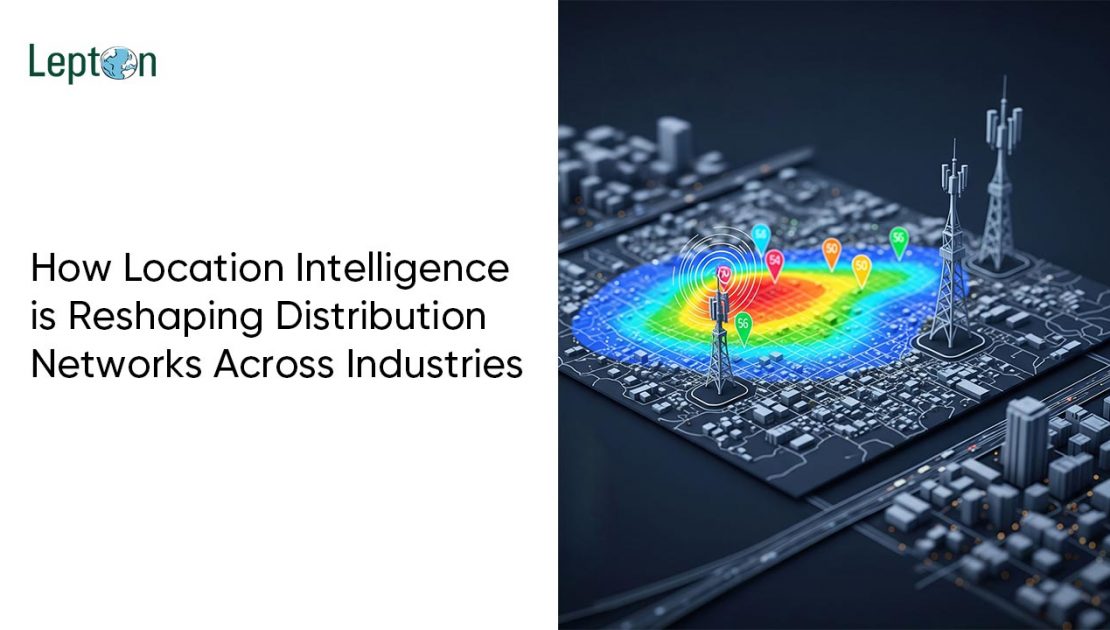
The rollout of 5G networks is one of the biggest technological upgrades happening around the world today. 5G promises super-fast internet speeds, lower delays, and the ability to connect everything — from smartphones to smart cars and smart cities.
But bringing 5G to life isn’t easy.
Telecom companies face a lot of challenges while setting up 5G networks. Luckily, geospatial technology, also known as GIS (Geographic Information Systems), is helping solve many of these problems by making the rollout faster, smarter, and more cost-effective.
The Big Challenges in 5G Deployment
Rolling out 5G is very different (and much more complicated) than 4G or previous networks. Here’s why:
- More Towers Needed: 5G requires many more towers, antennas, and small cells, especially in cities, because the signals don’t travel as far as 4G.
- Obstacles Everywhere: Buildings, trees, and other objects can block 5G signals, especially the very fast mmWave signals that need a clear line of sight.
- Time Pressure: Customers are waiting, and telecom operators need to roll out networks quickly to stay ahead of competitors.
- High Costs: Building new infrastructure is expensive, and companies need to make sure every investment counts.
How Geospatial Data Helps
Geospatial Intelligence is like giving telecom planners a super-powered map. It doesn’t just show roads and buildings — it shows real-world details like terrain, obstacles, population, and existing infrastructure, all in one place.
Here’s how it helps with 5G:
1. Smarter Site Selection
- GIS shows where towers or antennas will work best.
- It helps planners avoid signal blockages caused by buildings or trees.
- It also helps locate places like streetlights, rooftops, or poles that can hold small 5G antennas.
Result: Faster planning and fewer mistakes.
2. Faster Planning with AI + GIS
When geospatial data combines with Artificial Intelligence (AI), it becomes even more powerful.
- AI can predict how 5G signals will travel in an area — whether in a crowded city or a rural landscape.
- Planners can simulate different scenarios to see what works best — all without going to the field every time.
- This saves a lot of time and money.
3. Complete Network Rollout View
With GIS, companies can:
- See their existing fiber lines, towers, and backhaul connections on a single map.
- Check where permissions or approvals are needed.
- Instantly know if an area is suitable for a new tower or antenna.
This creates a unified rollout strategy — everything planned in one place, with no surprises later.
Real-World Examples of GIS Helping 5G
- In Cities: Telecom companies use GIS to figure out the best spots for small antennas — like on traffic lights, buildings, or bus stops — to provide strong 5G signals without gaps.
- In Rural Areas: GIS helps find the right places to expand 5G to villages and towns by looking at population data and existing infrastructure.
- Line-of-Sight Checks: 3D models help check if two antennas can “see” each other without anything blocking the signal — critical for mmWave 5G.
Simple Comparison: Problem vs. Solution
| The Problem | How GIS Helps |
| Need for more towers | Shows best locations quickly using real-world data |
| Obstacles blocking signals | 3D models check for clear signal paths |
| Slow rollout | Automated planning reduces time by up to 50% |
| High costs | Smarter site choices save money and avoid wrong builds |
Conclusion: Why 5G Needs Geospatial Intelligence
In simple words, 5G needs GIS.
Without geospatial data, building a 5G network is like trying to solve a puzzle blindfolded. But with GIS and AI working together, telecom companies can:
- Roll out faster,
- Spend less,
- Cover more people with better quality service.
5G is the future of connectivity — and geospatial intelligence is the key to unlocking it.

