Trusted by telecom operators and network vendors worldwide











Trusted by telecom operators and network vendors worldwide
The Autonomous Digital Twin for Physical Networks.
One Living Twin. An AI Workforce. Grounded in Reality.
The twin doesn't just show. It does.
See all three agents live, on the real platform, at Hall 2 · Stall B2.
Reserve a MeetingTwo case studies. Three decades of GIS, engineered end-to-end in India and across the globe.


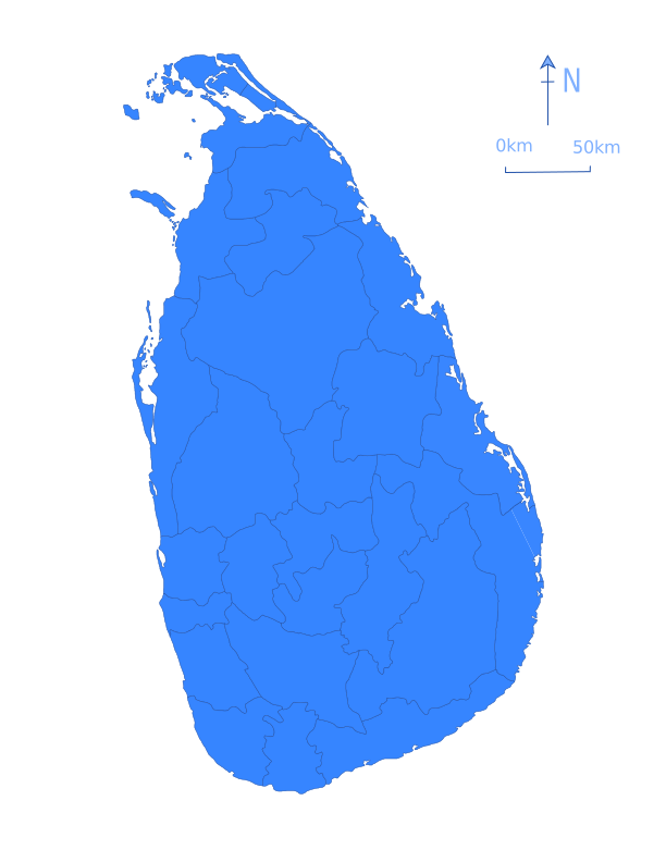
When Cyclone Ditwah severed Dialog Axiata's telecom network across Sri Lanka's central highlands, Lepton's mobile GIS platform gave field teams the visibility to restore service in seven days.
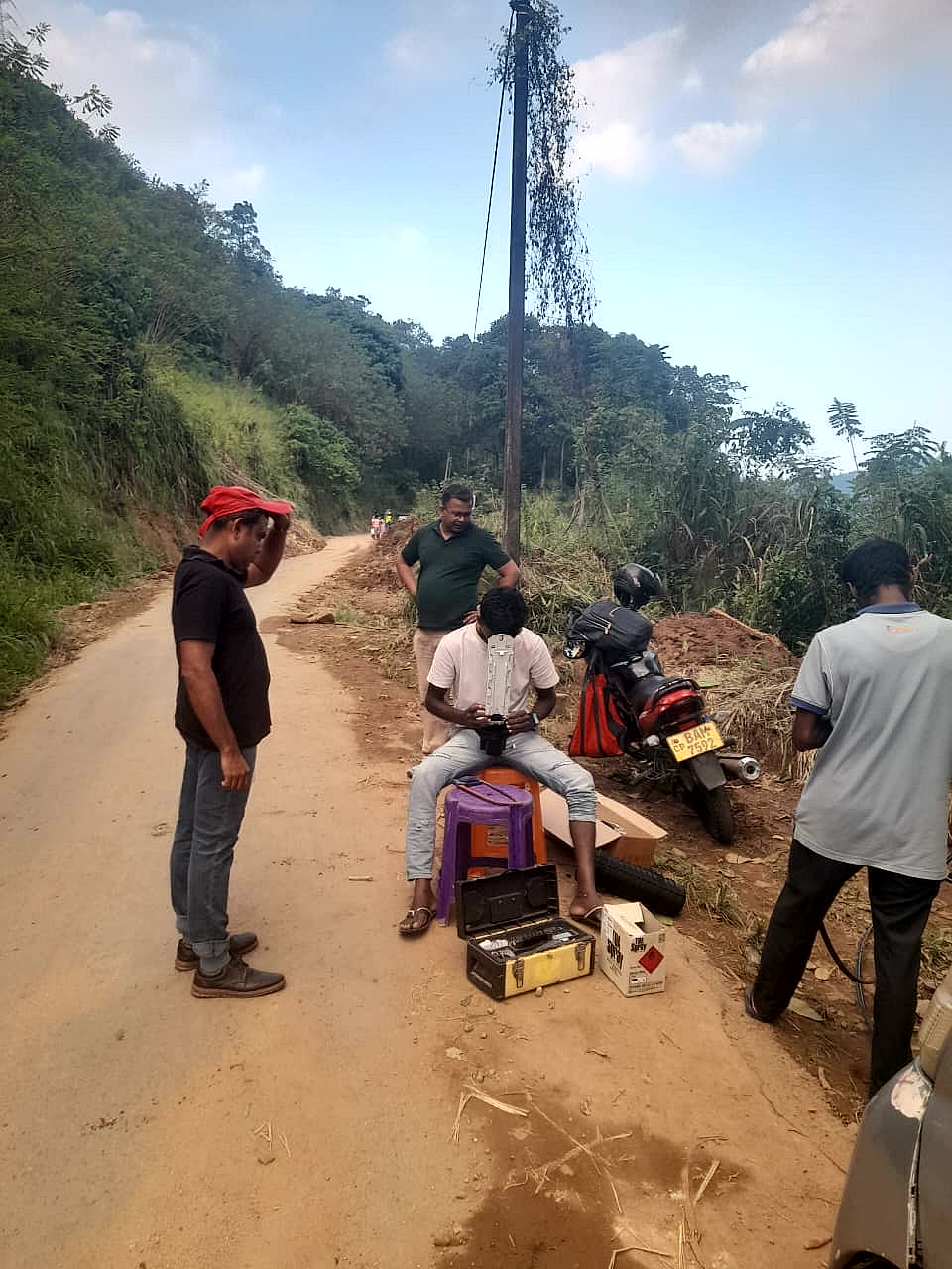
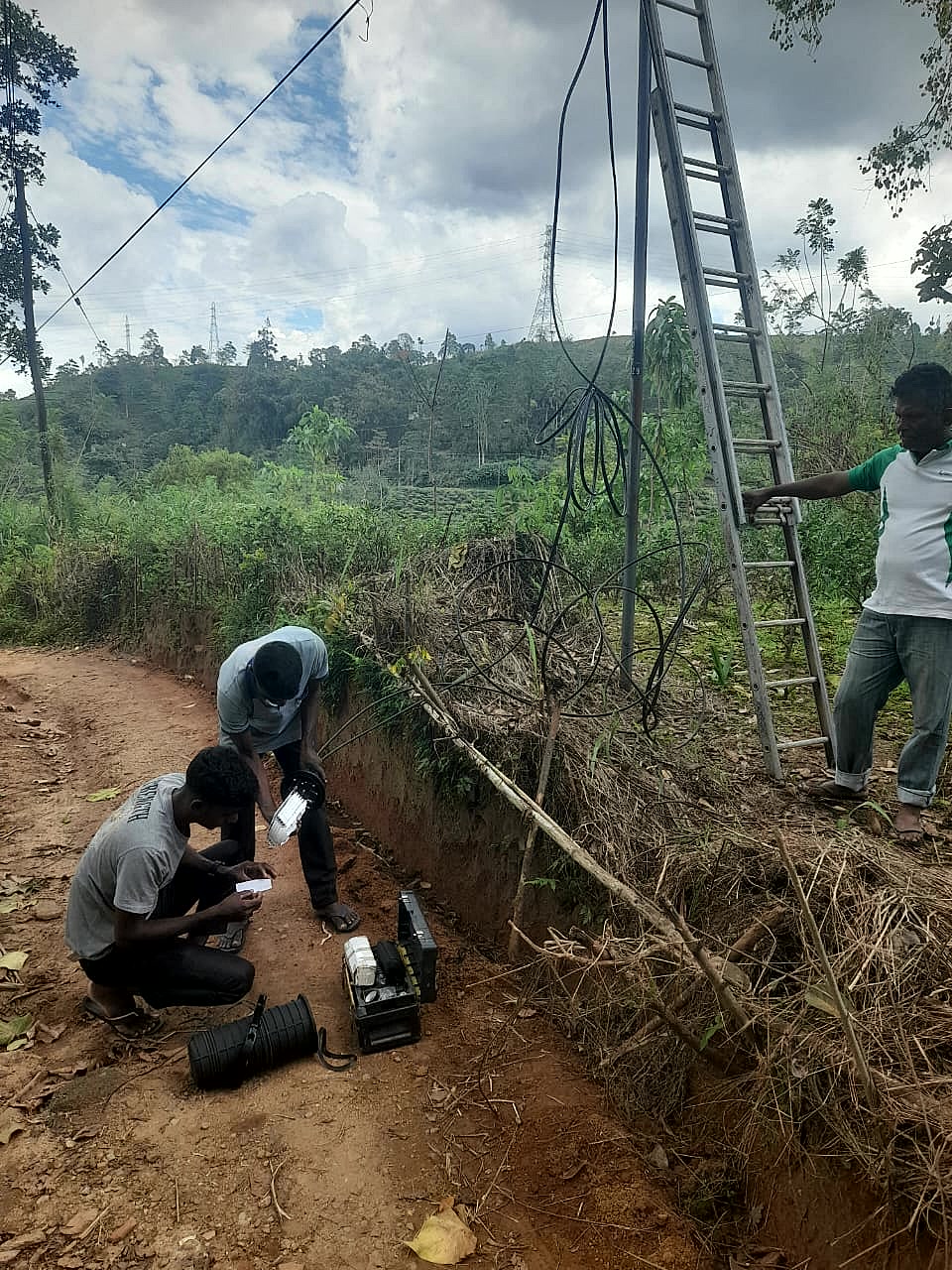
Dialog Axiata field team, central highlands, Sri Lanka · Lepton field deployment photos
Dialog Axiata PLC is one of Sri Lanka's leading telecommunications operators, managing a large and complex network across the island.
Cyclone Ditwah made landfall in Sri Lanka in late November 2025. The rainfall it brought triggered widespread flooding and landslides across the central highlands, cutting off sites and severing fibre spans at scale.
With field teams working continuously through difficult, disaster-affected terrain, the priority was clear: locate and repair critical network assets fast. Teams needed reliable, on-the-ground access to core network data, including sites, manholes, exchange closures, free cores and link IDs, without depending on slow, office-bound systems.
Lepton deployed a mobile GIS-based network platform that put Dialog's entire mapped network directly into the hands of field engineers. From their mobile devices, teams could visualise every network asset in context and retrieve the exact information they needed on-site, cutting out the guesswork and the trips back to the office.
The platform became a critical field-support tool throughout the disaster response, helping Dialog Axiata's teams locate damaged assets faster, troubleshoot with confidence, and restore network services efficiently. Within seven days of the cyclone's landfall, Dialog's network was back online.
Village-by-village fibre rollout. 1.4 billion address confirmations. Built and engineered in India.
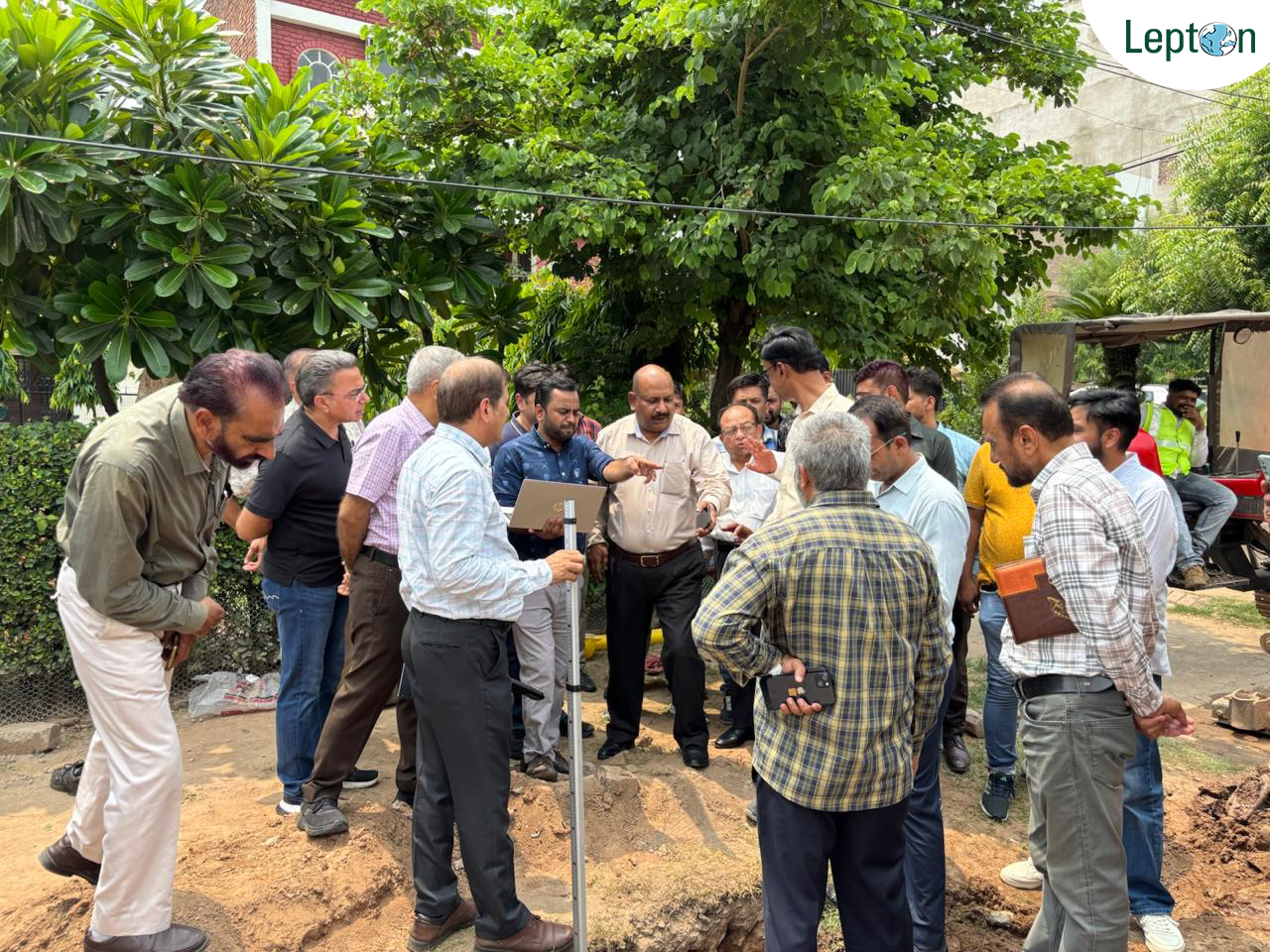
In Chhattisgarh, Lepton built the GIS-based fibre inventory platform behind a BharatNet rollout corridor: a web and Google Maps-based system that captures the entire OSP and ISP network as it is built, span by span. On the ground, that starts with desktop planning and feasibility surveys, then GNSS-based field execution, precise enough that stakeholders can pull a rollout-progress report with a single click.
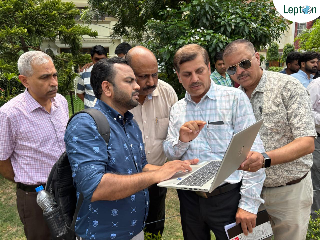
Every household. Every address. Geotagged. Lepton, in partnership with Google Maps Platform, built the mapping infrastructure behind the Ministry of Home Affairs' Census 2027 Self-Enumeration Portal, live from April to September 2026. On day one, the Prime Minister and the President of India both self-enumerated using the platform Lepton built, their household coordinates confirmed through the same geocoding interface available to every citizen.
The system runs at million-level concurrency with sub-200ms latency and 99.9% uptime, resolving local name variants across India's full linguistic complexity. For the 2027 census, "where" had to be answered 1.4 billion times, accurately, by the citizens themselves.


The same survey-grade discipline carries over to Indian Railways, where Lepton's NetworkAccess platform was recognised for Excellence in Survey, Preparation of DPR and Geo Solutions at the 7th Rail Analysis Innovation & Excellence Summit, 2026.
Reserve your meeting now, we'll have the whole story ready for you: Census, BharatNet, Railways, and three decades of GIS.